Away from it All — 24-26 June, 2015

The past few days I have been without cell phone reception in the Beartooth-Absaroka Wilderness area surrounding the Beartooth Scenic Highway on the MT/WY border.

On Wednesday I left the Badlands and traveled west to Red Gulch Dinosaur Tracksite in Wyoming. An out-of-the-way, another dirt road location that didn’t even have an address! The area reminded me a little of the Badlands. I arrived later than I anticipated due to poor weather cleaning up camp in the Badlands. I mean, who needs to put down a tent in torrential rain and 30mph winds!

Red Gulch Area, WY

Red Gulch Area, WY

The Beartooth Scenic highway was very beautiful. A high alpine environment with many lakes and wildflowers. And marmots, of course! The highlight was spotting mountain goats on my last night there. Both days were cool during the morning hours (on Thursday, it wasย  degrees F in the morning!) and warmed significantly during the day. Despite this, snow still covered about 10-20% of the highest passes along the highway.

Beartooth Scenic Highway, Marmot

Beartooth Scenic Highway,
Marmot

Beartooth Scenic Highway, Wildflowers

Beartooth Scenic Highway,
Wildflowers

Beartooth Scenic Highway, Wildflowers

Beartooth Scenic Highway,
Wildflowers

On Friday, I got up early to travel northwest of Red Lodge, MT to the northern side of the Beartooth-Absaroka Wilderness to the Mystic Lake Trail Head off of West Rosebud Rd. Yet another long dirt road, it’s becoming a pattern that is hopefully not harming my car. ๐Ÿ™

This trail was a grueling 3.2 mile hike uphill to the lake and a mind-boggling, full on concentration (so I don’t become Mrs. Humpty Dumpty) on the way down. I’ll do a more specific post on this hike later.

Mystic Lake

Mystic Lake

Information on the Hydroelectric Dam on Mystic Lake

Information on the Hydroelectric Dam on Mystic Lake

Badlands, Day 2 — 23 June 2015

I’m ALIVE. I got up really early (0430) to take sunrise pictures and instead I was disappointed to find a storm. I hit the road anyways thinking that the photo opportunities would still be great. I headed to the spot I selected the night before for sunrise and was met with a lightning storm. I braved it a little anyways, figured it would result in a nice shot. I wasn’t out there alone, so my consolation was that if I died, I wouldn’t die alone. ๐Ÿ™‚

Spent another wonderful day at Badlands NP. Found a new Burrowing Owl family!

Badlands NP

Badlands NP Sunrise Storm

Badlands NP

Badlands NP Evening Glow

Burrowing Owl Badlands NP

Burrowing Owl
Badlands NP

Burrowing Owl Badlands NP

Burrowing Owl
Badlands NP

Burrowing Owl Badlands NP

Burrowing Owl
Badlands NP
Western Unit, these are older than the other group on the scenic drive in the main unit.

Prairie Dog Badlands NP Maybe if I lay down here in the grass, she can't see me?

Prairie Dog
Badlands NP
Maybe if I lay down here in the grass, she can’t see me?

Hello Badlands! — 22 June 2015

Devils Tower

Devils Tower

No, I didn’t forget about yesterday! I spent Sunday at Devils Tower NM in Wyoming. I hiked the Red Beds Trail around the tower. This time I planned accordingly and did the trail clockwise. Not that it mattered too much as the trail is more like a necklace, what ever side you go down you must come up the other.

Mammoth Site of Hot Springs, SD

Mammoth Site of Hot Springs, SD Although flash photography is allowed, I don’t like to use flash. This was taken at 24mm, f/7.1, 1/20 sec., ISO 800. Exposure corrected to +0.65. I pushed the clarity and contrast a little, but otherwise a great hand-held shot.

Today I packed up camp early and headed south to Hot Springs, SD to visit the Mammoth Site. A small, paleontology museum that reminded me of the Beringia Museum in Whitehorse, YT. The introduction video was informative about the specific site and its formation. The view of the dig within the building was very well done with a mixture of natural and artificial lighting. The guide used a mixture of proper terminology as well as common terms, something the science geek in me likes (as apposed to using all common terms or dumbed down explanations and generalizations). The fact that all of the bones on the site are real except for one replica is amazing!

From Hot Springs, SD, I traveled to Oglala and on to the White River Visitor’s Center of the southern tract of Badlands National Park. While the drive was scenic, it did not compare to the main unit of the park. I had a nice drive up the scenic loop to Pinnacles Lookout and back to the campground before settling in.

Badlands National Park

Badlands National Park


Highlights of the day were three Common Nighthawks in flight and a small family of Burrowing Owls. The owlets were very cute and the young still had their downy feathers. The adults would bring in small morsels and they would all rush out from the burrow to greet and dive bomb on their โ€œpresentsโ€ the victor would quickly scurry off with its prize to gobble down. I sat and watched them for close to 20 minutes. I think I will return tomorrow when the lighting is better.


Burrowing Owlets rushing in to get the catch.

Burrowing Owlets rushing in to get the catch.

Burrowing Owl

Burrowing Owl


I am really bummed that at the moment the skies are too cloudy to try out night photography, the Milky Way will have to wait for another day. ๐Ÿ™

The Bluebird of the Day — 20 June 2015

Mountain Bluebird Custer State Park, SD

Mountain Bluebird
Custer State Park, SD

Argh, I was awaken several times last night to torrential downpour and the drip-drip of water in my newly sealed tent. ๐Ÿ™ย  I guess I will brainstorm about how to fix this today as I’m out and about. Yesterday was a great day. I started out early on the wildlife drive. At 0545 in the morning, I only saw 3 other cars for the entire two hours I spent on the road. The highlight of the 18 mile drive this morning was a Mountain Bluebird. The little male swooped from the fence into the grass and came back up with a huge caterpillar. He repeatedly beat the caterpillar on top of the fencepost to kill it and then flew off to a bird house further down the fence line. The whole spectacle lasted a few minutes, but the pictures turned out amazing. add pictures

Northern Flicker Custer State Park, SD

Northern Flicker
Custer State Park, SD

Prairie Dog Custer State Park, SD

Prairie Dog
Custer State Park, SD

After finishing the wildlife drive we headed to Hell’s Canyon (trail 32) in Jewel Cave National Monument. The 5.6 mile loop trail is considered moderate, and I’d second that rating. When we arrived a large group was gathering for a wildflower hike with a naturalist society. I spoke with a few of them and they were very curious about Ari. We set out on a clockwise route just before 10am. The hike of the canyon floor was partially shaded and required one creek crossing and some off-trail navigation around a downed tree. I briefly lost the trail when it U-turned at the end of the canyon floor but realized my mistake quickly and got back on track with only a short detour. The scaling of the canyon wall was the most strenuous portion of the trail, but once on top there was little to no shade, making this portion a lot more taxing. The views of the canyon were amazing and I was lucky to have another great day of good weather and a gentle breeze.

I found a small cave to relax in as I was getting very tired and running low on water, so Ari and I put down our gear for a little rest. As I was contemplating life I was rudely interrupted by a rather large liquid thud just two feet from where I was sitting. Looking up, there were small swallow nests and they were pooping! Haha. Ari and I headed on and to my surprise I ran into the group from the parking lot! Dismayed that I’d been hiking for over 2 hours and worried that I might not have enough water to last me another 2, I asked the tour leader how much I had left; he replied about a mile, mile and a half. Thank goodness!!

We finished VERY tired and I was out of water. I think the other group had it right, a counter-clockwise route would have had all of the elevation gain at the beginning and downhill for the last 3-4 miles rather than my clockwise route. I should have worked harder to find a topographic map. Oh well, lesson learned.

Hell Canyon

Hell Canyon

Hell Canyon trail seen from the cliff face, where I started from!

Hell Canyon trail seen from the cliff face, where I started from!

Hell Canyon Trail, 5.6 mile loop

Pros: Beautiful scenery, good bird life although not abundant

Cons: Uneven trail with rocky terrain and walking along the cliff side is not for those faint of heart or afraid of heights.

Recommendations: Wear pants as many of the knee-high plants have thorns. Also, as of my writing there is a downed tree across the path along the canyon floor. It will require some climbing or walking 20-30 ft off trail to go around the tree.


I ended the day with Bison burger at Blue Bell Lodge and a quick run of the wildlife loop for some scenery shots before heading to the lighting ceremony at Mt. Rushmore National Monument. The ceremony itself was a little underwhelming and the lighting on the mountain is not very bright, but its an experience, I am glad I went. Since my parking pass is good to the end of the year, I’ll visit again tomorrow or later in the week.


Custer State Park, SD

Custer State Park, SD

First Impressions — 19 June 2015

(Note: Since I have not been able to get reliable internet to upload to my blog, I plan to batch upload when I can connect. If you want to read the post in order look at the date in the title. Use the side bar or menu to find a listing of posts.)
Sylvan Lake Custer State Park, SD

Sylvan Lake
Custer State Park, SD

Another day without needing an alarm clock, I arose just after sunrise. Ari and I went for a walk around Sylvan Lake. The one-mile trail is fairly easy for one-half of the route and then climbing quite steeply for a look over the lake and back down. Once we reached the top and enjoying the nice view over the lake and examining where I had taken the picture to the right from I was scared half-to-death by the loud, shrill noise. At first I had no idea where it came from, nor what it was. Perhaps it was a weird whistle? But there was no one else up here!

After hearing the noise again I honed in on a rather large marmot. Its bark was its warning and directly below it, level to my eye were two others laying out on a rock. I snapped a few pictures before Ari finally saw them and they noticed him, fleeing to safety.

Sylvan Lake Custer State Park, SD

Sylvan Lake
Custer State Park, SD

While I did not see any birds of consequence I found an abundance of mammal life at this location along with the marmots: chipmunks and squirrels. Woe be to me if Ari ever got loose here!

Around 10 am we headed for Spearfish Canyon Scenic Byway. While the scenery was nice, there was no place to pick up a brochure/map and pull offs were not marked. Only one of the trails I had read about were labelled well enough for me to find. I was a nice location, but not an all-day trip as I had planned, so I picked up lunch in Spearfish and headed back to Custer State Park to pitch my tent and take a nap. I’ll be based in the same location for the next few days, so that will make traveling a little easier.

We ended the day with the Wildlife Drive.

Meadowlark Custer State Park, SD

Meadowlark
Custer State Park, SD

Pronghorn Custer State Park, SD

Pronghorn
Custer State Park, SD

Westward Ho! – Part Two — 18 June 2015

I awoke earlier than my alarm clock. Perhaps it was my overall excitement or that I don’t sleep as heavily when I tent camp? I cleaned up my campsite and walked Ari around the state park before sunset and headed off to Squaw Creek NWR.

My first impressions of this refuge was its overall size. I grossly underestimated the time it would take me to complete the ten mile wildlife loop! Despite the poor lighting of early morning and later overcast conditions, I enjoyed good sightings of American White Pelicans, Dickcissels, and even a Great Horned Owl. Unfortunately, very few decent pictures came from the excursion, but this is a place that I hope to revisit one day and would highly recommend. The state park that I stayed at was only 15 minutes away.

Heading into Nebraska I ran into a storm cloud so beautiful and expansive that I don’t believe any amount of wide-angle lens could have done it justice. From the outside it was breath-taking; inside it was nasty with heavy wind and downpours for nearly 120 miles! Coming out of it into the west I was met with bright blue skies and fluffy white clouds for the remainder of the day. The weather alone would have made the rest of my drive enjoyable, but I did not count on the spectacular scenery and birding of my next location…

Road to Crescent Lake NWR

Road to Crescent Lake NWR


Crescent Lake NWR

Crescent Lake NWR


Crescent Lake NWR is so out-of-the-way you may think you are lost getting there. Both roads getting to/from this location are difficult and in hindsight a 4-wheel drive would have been advisable. I would not attempt this journey if there has been recent rain or several days of rain as the road north from Oshkosh, NE is a soft dirt road with occasional gravel for traction (Rd. 82 & Rd. 181). The road from the north from Lakeside is paved in places, but might as well had not been due to the potholes and poor quality. Both roads were narrow allowing for the passage of only one vehicle in approximately 90% of their duration. The northern road looks to be at risk for washing out, as water from the marshes sometimes stood on the road or came up to the broken pavement. When a vehicle approached it was not impossible to pull off to allow them to pass on either road, just take care. All of the areas are open rangeland and any breaks in the fence the road takes there are cattle guards, rows of spinning pipe laid into the road that cows do not like to cross. I found it best to cross over these at a decent speed. The road from Antioch that makes up the northwest portion of the wildlife drive was closed, so I can’t attest to its condition. All that being said, This route was spectacular in both scenery and birding opportunities, a trip that I KNOW I will attempt again in this lifetime and encourage those who have a chance to go.

Possibly a Common Nighthawk?

Possibly a Common Nighthawk?

Right off, turning onto Rd. 181 I happened to see a few Horned Larks, a Lark Sparrow and what I think is a Common Nighthawk. Sleeping on a fence post, the Nighthawk seemed oblivious to my presence and from my car I was only about 8-10 feet away. A few miles down I spotted several Meadowlarks, a species that I have been struggling to find at home. Thanks to the overlap in their range (hint a note of sarcasm), I’ll have to examine my photographs more carefully to identify whether I saw Eastern, Western or both.

The refuge itself did not present as rich of a wildlife population as the roads to and from it, but I did see more Meadowlarks and sparrows along the road. Several large lakes had a few ducks and geese. Continuing north from the refuge towards Antioch the habitat turned more marsh-like with large expansive ponds and standing water pools. Great sightings of a few new species for me occurred here.

Long-billed Curlew

Long-billed Curlew

Upland Sandpiper

Upland Sandpiper

Wilson's Phalarope

Wilson’s Phalarope


I witnessed the Wilson’s Phalaropes circling in the water foraging for food. I saw probably two dozen of these birds in several ponds. For some reason I had thought they would be larger. I came across two Long-billed Curlew walking in the grass. Upon seeing me, one barked up a strange trumpeting call. A mile down the road on several fence posts sat what was clearly a shorebird, but very strange in body: Upland Sandpipers!

Other new species for me: Yellow-headed Blackbird, Redhead, Ruddy Duck in breeding plumage (bright blue bill) and an Eared Grebe.

"Just Passing Through" Ruddy Ducks & Eared Grebe

“Just Passing Through”
Ruddy Ducks & Eared Grebe

Westward Ho! — 17 June 2015

(Note: Since I have not been able to get reliable internet to upload to my blog, I plan to batch upload when I can connect. If you want to read the post in order look at the date in the title. Use the side bar or menu to find a listing of posts.)

I planned to make it to South Dakota from my home in North Carolina in two and half days. After arriving in Nashville, TN the first night I set out for the northwest corner of Missouri for the second night.

Parthenon, Centennial Park, Nashville, TN

Parthenon, Centennial Park, Nashville, TN

A mere 7 miles from my hotel in Nashville, I visited Centennial Park (add link) where a replica of the Parthenon sits bordering a small lake. A beautiful setting and wonderful weather made the 1 mile walk around the lake a great place to start the day. The park itself was uncrowded at 7am with the occasional runner passing me by. The only disruption of the peacefulness was Ari’s occasional barking at the seemingly never-ending squirrel population.

Stopping in Illinois for some birding, I left US-45 for Mermet Lake State Fish & Wildlife Area (add link). I’m sure this place with its long circular drive around the lake would be fantastic for year-round wildlife watching. Alas, I visited during the hottest part of the day and overhead sun. A variety of habitats from freshwater, marsh and grassland allowed me to view a wide range of species but not in large quantities.

Due to rainy conditions I drove directly from Illinois to Big Lake State Park in Missouri. I arrived just before sunset and set up my tent under a beautiful sunset.

Morning Walk & Gear List

Today I headed out for a morning walk. Not a lot of bird activity in my neighborhood this morning, if you don’t count the Mockingbirds and Robins! I did manage a nice shot of an Eastern Phoebe siting on a power line.

These past few weeks I’ve been slowly adding all the gear I want to carry into my pack and adjusting Ari’s pack as well. In total, I’m carrying 23-25 lbs of gear (the range depends on the amount of water) and Ari is carrying 2-4 lbs, mainly water. That is roughly 15% and 6% of our weights, respectively.

Eastern Phoebe

Eastern Phoebe
Click to Enlarge

I’m carrying (from the bottom up):

  • Rain cover (already in a special compartment)
  • Fleece jacket
  • Thin pair of pants and shirt
  • Extra pair of socks
  • Rain pants and jacket
  • First Aid Kit
  • 2nd Camera Body (Rebel T4i for Landscapes)
  • Sunscreen & Bug Spray
  • Ziploc bags with TP
  • Knee brace
  • Soft hat
  • Kleenex
  • Wet wipes
  • Gloves

Attached to the exterior and in the hip pockets I have a whistle/compass combo, bear bell, baseball cap, tripod, mace and my Leatherman tool for easy access. Ari will be carrying some poop bags with a larger Ziploc for used ones, 2 water bottles and a cup.

I also have my Cotton Carrier for my wildlife camera set-up. This harness, which allows me to carry my Canon 70D + 100-400L combo hands-free, is amazing! It has taken me nearly a month to get it adjusted for my height and body shape so that it is as comfortable and secure as possible, but making sure it didn’t fit too tightly to interfere with my breathing when I became tired. Well worth the money in the long run.

As I contemplate my strategies for different trails and photographic opportunities I realize that I may not want or need to carry my full pack on all of the trails I’ve put in my itinerary. For this reason, I’ve added a small day pack in one of my car tubs so that I can add just the essentials for short or easy trails.


Bird list for road trip 2015

Bird watching is a relatively new hobby for me, so visiting new areas presents wonderful opportunities to view species either non-existent or rare in my area. Using a wonderful online tool, eBird, I was able to create a comprehensive list of birds I am likely to see on my upcoming road trip.

Download my list: ebird_list

To create my list I utilized the Explore Data –> Bar Charts section of eBird’s database. I selected each state I would visit and the “Hostspots” subregion option. (Note: to search by hotspot, you cannot select multiple states at time.) For each state I plan to actively bird watch I checked all of the possible hotspots for these areas. For example, in Colorado I plan to visit Dinosaur NM, Rocky Mountain NP, and Rocky Mountain Arsenal NWR. Each location may have multiple hotspots, so in general, I selected them all.

After selecting the hotspots, I click continue and a bar chart appears listing species and their frequency of being seen in those specific areas. I narrowed my search by clicking the button for Change Date and selected Breeding Season (Jun-Jul) to make sure I was seeing an accurate seasonal list.

Since I will not likely spend time looking for rarities, I copied the list into excel and deleted species with a low frequency during my visiting time. I also deleted species that I have already seen and photographed, or frequently see on the east coast. After completing several states I was left with a listing of approximately 150 species.

Using other features, such as Species Maps I was able to add notes regarding distribution, frequency and location notes for species I wanted to actively seek.


Summer Trip 2015

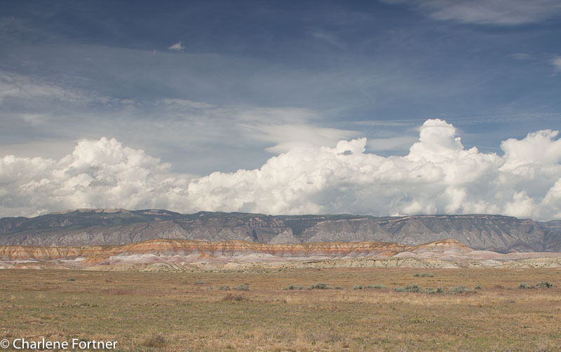
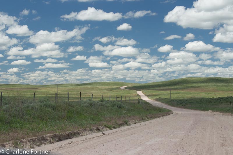
In just 10 days I’ll be heading west to the Black Hills and Yellowstone areas of South Dakota and Montana, USA. Months of cursory and serious planning will culminate in 29 days on the road and an additional 5-7 days in Delaware.

Screen Shot 2015-06-06 at 4.54.41 PM

A good friend curiously asked me a few days ago, “How did you plan this?” Well…

Step 1: Where am I going? Why am I going there?

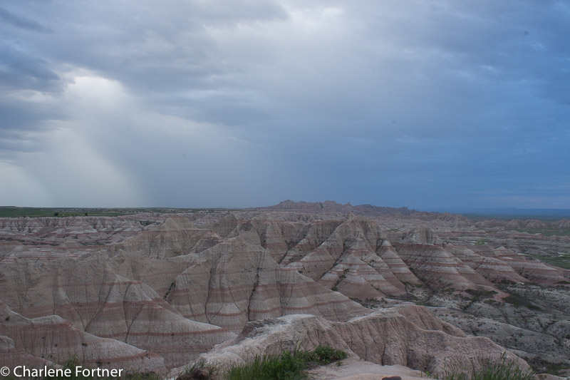
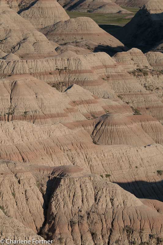
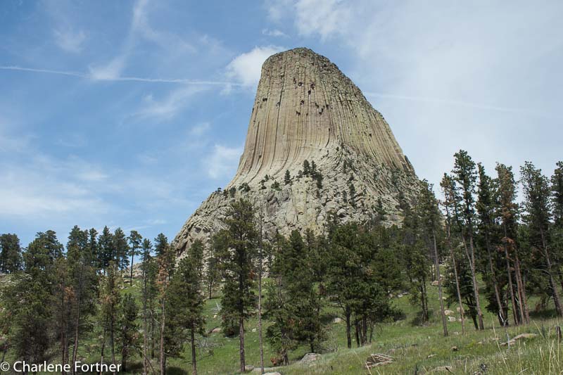
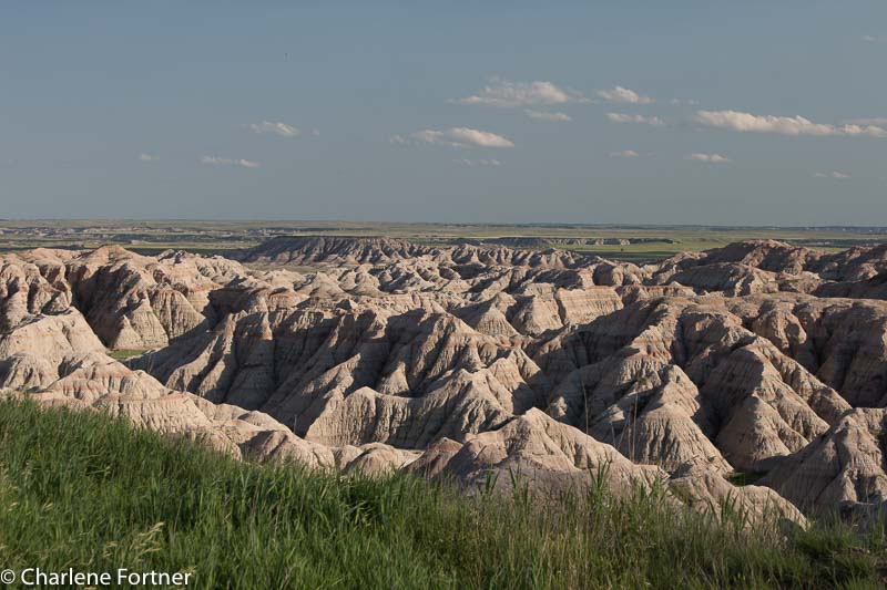
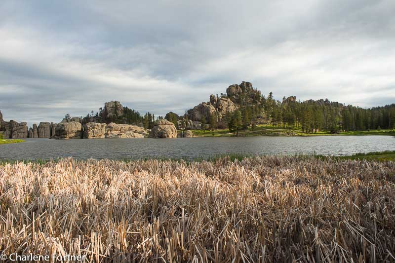
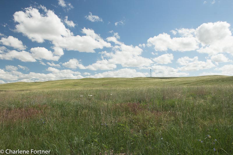
This step is by far the easiest, but also the most time consuming. Years ago, I compiled a list of 30-35 trips I wanted to complete while I am still able, ranging in duration and activity level to specific times of the year. Looking at my budget and season, I determined the highlights of this particular trip would be the Badlands and Yellowstone.

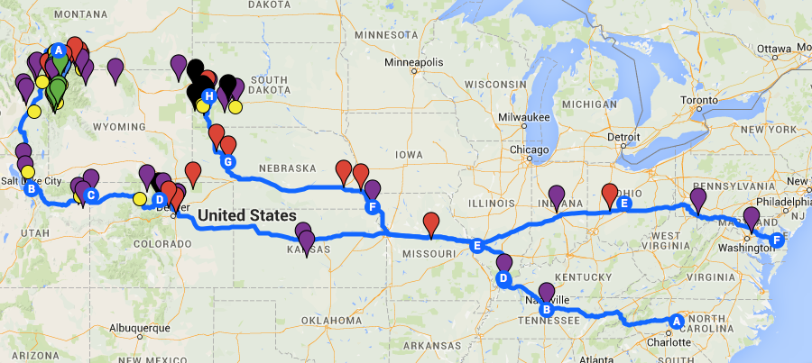
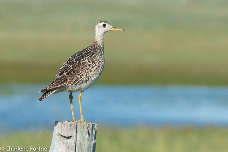
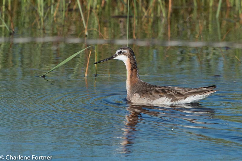
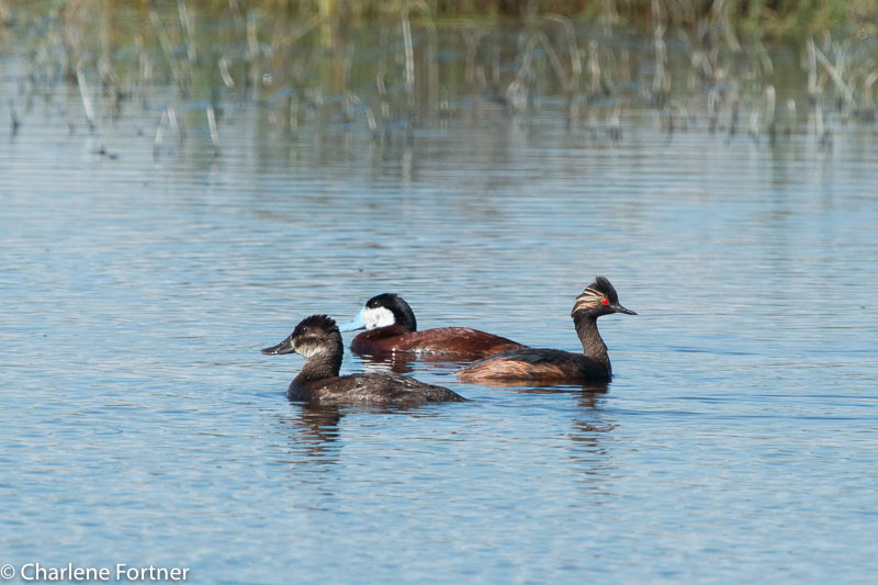
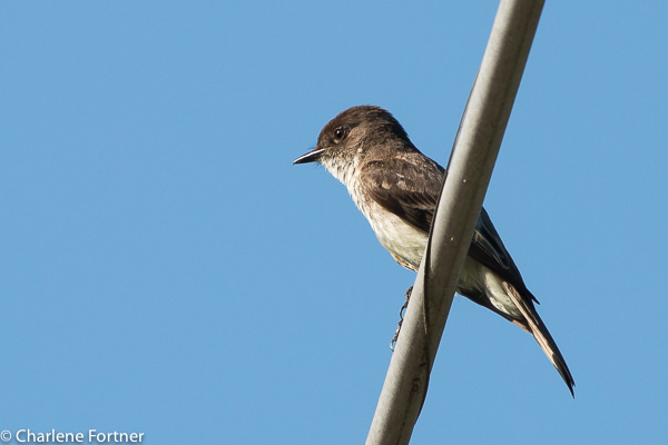
Since I am traveling by myself (the dog counts, doesn’t he?) the hard questions that come after deciding on a destination are easier than if you have to consider the interests and travel styles of many travel partners. I used Google Maps to set up a custom map. I researched as many online and print sources (guidebooks, travel websites like Tripadvisor, local and state tourism websites, chamber of commerce, eBird for birding hotspots, etc.) to add pins for EVERYTHING I want to see. Trust me, it can be a bit overwhelming when you start adding hundreds of dots to the map!! This process is the most fun, and depending on your transportation and your time commitment, the farther outside your immediate location you can explore. During this part I did NOT do in-depth research into any of the places I was adding, just preliminary to determine whether it was something I was interested in.

I had originally decided to travel north after Yellowstone to Glacier National Park and along the Canadian border to several National Wildlife Refuge hotspots in Montana and North Dakota. I finally settled on a southerly path through Salt Lake City and Denver. It didn’t save me any money or time to make the switch, but there were a lot more things to see with shorter travel time between them. That itinerary change essentially wasted probably 20-30 hours of dedicated research; but I kept my notes for future trips.

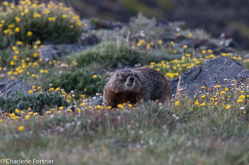
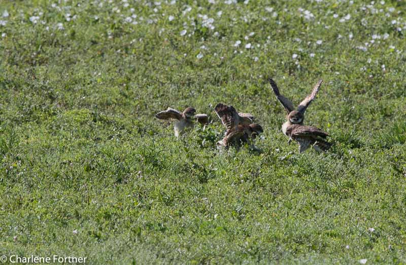
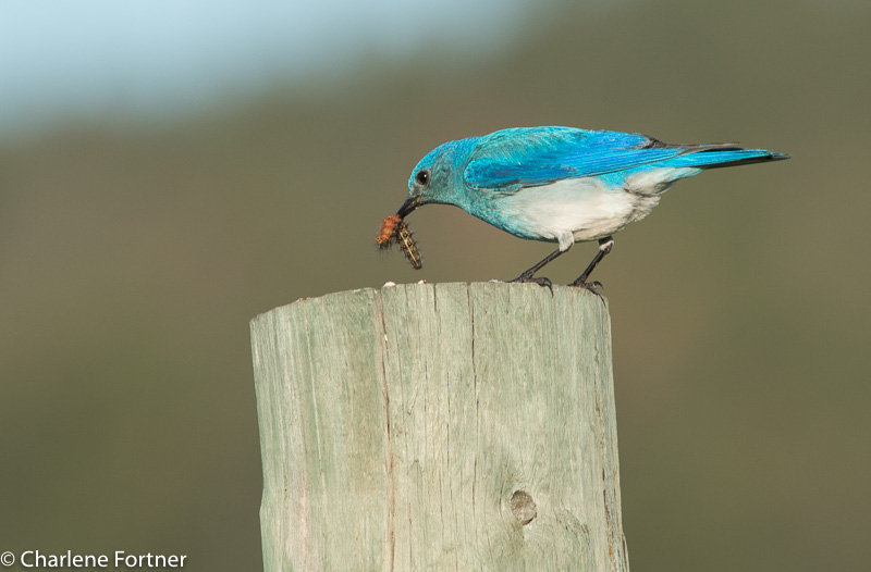
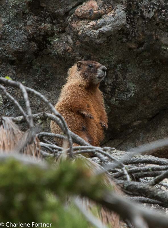
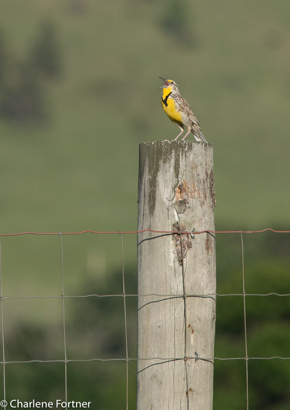
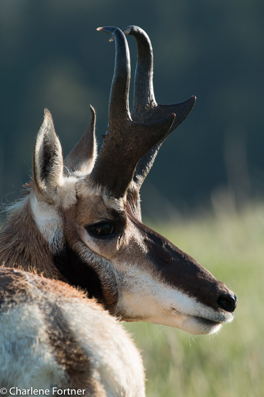
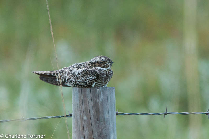
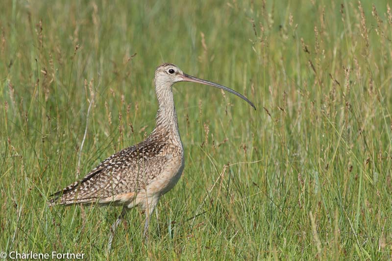
My reasons for traveling to these areas play a role in the locations I add. My interests are photography, birding, hiking and scenery. While I enjoy museums, this particular trip needs to be as dog-friendly as possible. I’ll be boarding Ari for two sections of my trip, so I will get to visit a few.

Step 2: Setting an Itinerary

Not as fun as the initial research, setting an itinerary can be quite challenging. During this part it is essential not to overestimate your abilities (something I regularly do, will I ever learn my lesson?). Important things to consider:

  • What places are dog-friendly, which are not? Can those that are not be done from the car (birding) or will I need to board him (like the National Parks)?
  • What areas or campgrounds would make good hubs?
  • What time will I get up? (conversely, What time will I get to bed?)
  • What are good locations for photography? Will I want to focus on sunrise & sunset photography? (therefore, depending on my lodging: What type of hassle will I have on getting out to sunrise locations or into the campgrounds if I stay late for sunsets?)
  • Depending on the type of trails and my abilities, how long do I think it will take me to comfortably finish a trail?
  • Is there just one thing or many things I want to do at a location and how far apart are they?
  • What type of (road or foot) traffic should I expect and how will that affect my time?
  • Where will I be able to find food, showers (not all campgrounds have them!) and laundry services?

Since I am traveling solo, there are considerations I take when making an itinerary. I try not to stay at small (<10 or 15 sites) campgrounds when possible and preferably at ones where an attendant is on duty. If I’m in bear country I tend to consider trails that are more heavily used so that I’ll not be on the trail alone. I personally prefer the paths less traveled so I walk a fine line with this guideline.

As a photographer with a dog, I’ve limited my activity to mostly daylight hours. There are a few exceptions: the lighting ceremony at Mount Rushmore and astrophotography at Badlands National Park. I researched the civil twilight and sunrise/sunset times for the hubs of my trip (Rapid City SD, Livingston MT, Salt Lake City UT and Denver CO) to determine my general daylight allotment.

Some good advice given to me by a friend years ago was to stay in one place and explore rather than moving camp each day. While I’m trying to hold true to this I will be moving a little bit within each of the 4 sections of my trip. For 34 nights I have 19 lodgings. Granted the last section traveling between Yellowstone and home via Salt Lake and Denver is 10 nights with 9 lodging locations. Setting camp and not having to worry about it will be a great time saver when trying to compose early morning and late evening shots and when exhausted after a long day’s hike.

Once I set a hub (campground) I try to cluster sights to minimize the amount of travel time between them. I didn’t particularly want to spend half the day in my car and would much rather spend more time on location. This is the part when the dots on the map begin to get a little sparse. More in-depth research of cluster areas of dots help me determine which areas to check out. Say I have a cluster of 5 dots and only one of the dots is really promising, I’d give up that cluster in favor of another cluster where there were more places that interested me. Outlying spots of great interest do stay on the map for a couple of reasons: perhaps the weather is bad and its just far enough to provide a reprieve from bad weather and still remain active or perhaps a particular place wasn’t as interesting and I didn’t spend a lot of time there and have time to explore something else. I also keep several back-ups in case of inclement weather. With a dog, I’m limited in what rainy day activities I can participate in, but in the sections where I am boarding him I have more freedom. If it is particularly stormy, it may be cool enough to leave him in the car to see a small museum.

The last part of the itinerary once I’ve identified my hubs and clusters is deciding how to arrange the sights in a way that appeals to my interest. Photography and birding are both better at early morning and evening time frames whereas landscapes, museums, rest and travel time would be appropriate for mid-day. If I am constrained by opening/closing times for attractions I plan to arrive at the one farthest away when it opens and work my way back to maximize the time. Although, this is sometime negated by drastically different open/close times of some attractions.

Step 3: Making Reservations & Fine-tuning

This is the part I hate. Once I’ve locked in and paid for lodging and attractions I have very little wiggle room. I’ve created a document that includes my rough itinerary, short descriptions of the sites I’m visiting and why I wanted to go there, trail descriptions and directions. I’ve included addresses or GPS locations to plug into my Garmin and phone numbers and confirmation numbers for all of my lodging locations. Important documents like rabies certificates, AAA membership and emergency contact sheets are included in my binder. Copies of other important documents are stowed away in case I need them.

Some things I went back and added last minute were:

  • Locations of local dog parks. I am always wary of going to these in areas I’m unfamiliar with, but at off times where I’m the only one or just a few other dogs, they are great places to let my dogs stretch their legs.
  • Check local events calendars. This was a bust for me, but could be a helpful step for others planning trips. Many areas don’t update their summer calendars until April or May so for my trip I was unable to use these to help create my itinerary. However I will be able to attend some ranger-led walks at various parks which are considered daily events.
  • Add screenshots to assist with directions. Using Google and some of my location websites I took screenshots and added them to my itinerary sheets to assist with navigation. I also did this for any large city where I would need to change interstates or take outer loops in case of a need to skip traffic.
  • Add alternative trails. Due to the fact I’ve added over 170 miles of trails to my itinerary I felt it prudent to select less strenuous back-ups for several trails in case I want to take it easy or if a particular route becomes closed.
  • Add apps to my iPhone to assist with travel information. In addition to the ones I’m guaranteed to use (Wunderground Weather, Merlin Bird ID by Cornell, myRefuge by NWS and GasBuddy), I found several others to try out:
    • Chimani Grand Teton, Chimani Yellowstone and Chimani Rocky Mtn.
    • Geysers – Created by the NPS and updated to show geyser eruption times.
    • Birds Near Me – Uses eBird to update recently located birds up to 31 miles from your location within the past 30 days
    • Park Guides by National Geographic – So far I can’t find a lot of great information within the free version of this app, but the map section is enticing enough for me to hold on to it.
    • Around MeI’ve had this one awhile, but haven’t had a good opportunity to use it yet.