Bird of the Day: Northern Flicker

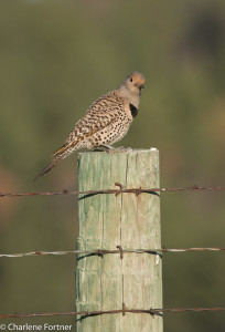
Northern Flicker  Custer State Park, SD Jun. 2015

Northern Flicker
Custer State Park, SD
Jun. 2015

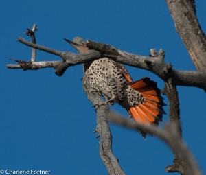
During my summer road trip I had the opportunity in the field to view both yellow-shafted and red-shafted Northern Flickers. Yellow-shafted flickers predominately live on the east coast, so my first sighting of a Flicker that looked “unique” was a highlight.

The particular bird above has the red nape and yellowish tinge of underlining on the wing. The lack of a cheek stripe indicates the bird is female.

Even after recognizing the different colored cheek stripe and lack of a red nape, it wasn’t until Yellowstone NP that I witnessed the brilliant red lining of the tail and wings that give the two varieties their names.

Northern Flicker Yellowstone NP July 2015

Northern Flicker
Yellowstone NP
July 2015

More photos of Flickers & Woodpeckers

Bird of the Day: Cattle Egret

Cattle Egret Cheyenne Bottoms WA, KS

Cattle Egret
Cheyenne Bottoms WA, KS
July 2015

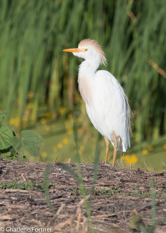
During my summer road trip I passed through Cheyenne Bottoms Wildlife Area near Great Bend, KS. Designed for waterfowl, the habitat here was mostly large pools of freshwater and marsh. While there, I came across a large flock of Cattle Egrets. Most of them still in breeding plumage.

More photos of Cattle Egrets

Mermet Lake

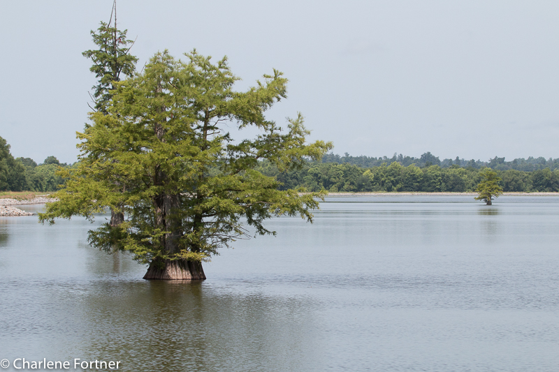
While passing through Illinois, I stopped at Mermet Lake State Fish & Wildlife Area. The cypress swamp is encircled by a two-way dirt road which I drove counter-clockwise. As a birding location I was disappointed to find very few species here, but the time of day and time of year were not favorable. The road was in good enough condition and wide enough to stop for wildlife and still allow other traffic to pass (a characteristic a lot of National Wildlife Refuges lack!).  Located throughout the drive were small picnic/rest areas with bathroom facilities and several pull-outs to stop and look for wildlife. The site also contains two marked interpretive trails, but I did not try either due to the heat.

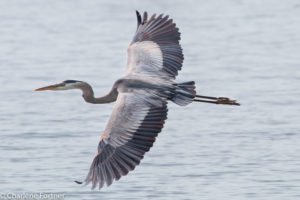
My favorite photo was of a Great Blue Heron, below. Another great find was the Mississippi Kite, which I did not identify until I downloaded the photos later.

Click Here for more information about this location.

Click Here for more information about this hotspot from eBird.

Great Blue Heron Mermet Lake SFWA June 2015

Mermet Lake SFWA

Mermet Lake SFWA

Yellowstone NP

There is so much to say about this wonderful national park. So much so, I want to wait and do it justice at a later date, so this post will be in the captions.

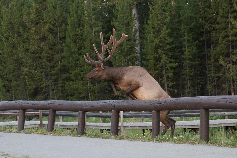
Elk pretty much go wherever they want.

Elk pretty much go wherever they want.

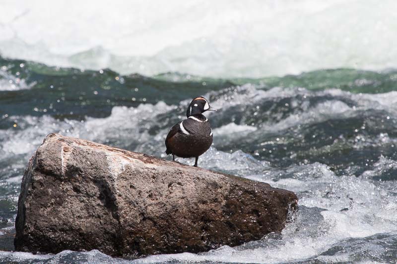
A great place to look for Harlequin Ducks is LeHardy Rapids just south of the Hayden Valley.

A great place to look for Harlequin Ducks is LeHardy Rapids just south of the Hayden Valley.

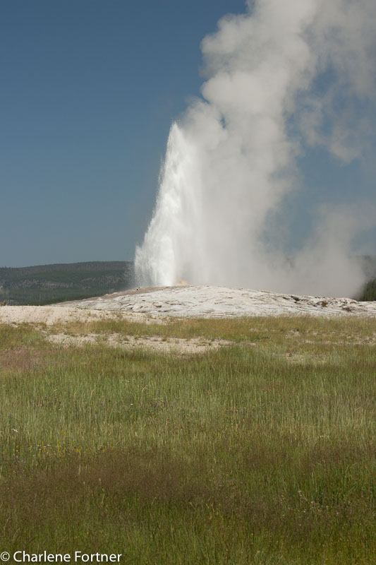
Old Faithful, which I saw twice in one day.

Old Faithful, which I saw twice in one day.

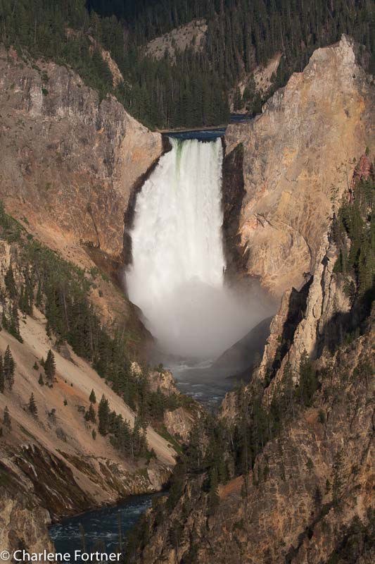
Grand Canyon of Yellowstone, Lower Falls from Artist's Point

Grand Canyon of Yellowstone, Lower Falls from Artist’s Point

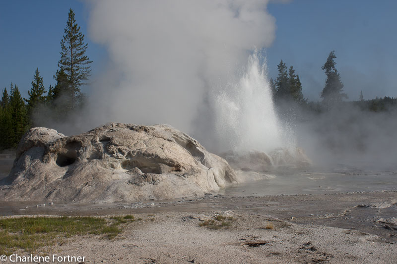
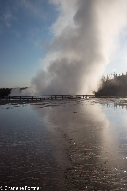
Grotto Geyser, scared me half to death as I was watching it and all of a sudden began its show.

Grotto Geyser, scared me half to death as I was watching it and all of a sudden began its show.

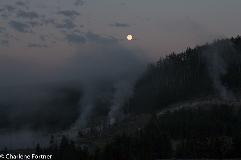
Just before sunrise with a full moon.

Just before sunrise with a full moon.

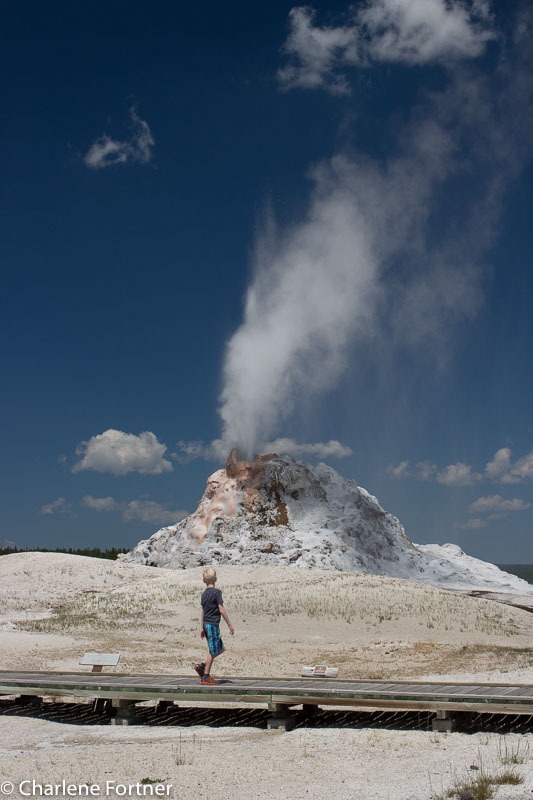
The circular polarize made this one quite surreal. I normally don't include people in my photos, but this one just fit.

The circular polarize made this one quite surreal. I normally don’t include people in my photos, but this one just fit.

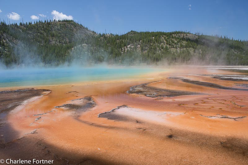
Edge of Grand Prismatic Spring. I was disappointed that the trail that goes up the mountain behind to overlook the spring was closed. Probably for safety.

Edge of Grand Prismatic Spring. I was disappointed that the trail that goes up the mountain behind to overlook the spring was closed. Probably for safety.

Getting up super early has its advantages, one: no crowds and no parking hassles, second: great lighting.

Getting up super early has its advantages, one: no crowds and no parking hassles, second: great lighting.

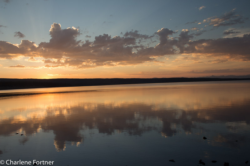
Morning on Yellowstone Lake. I still haven't figured out if I need to straighten this or just leave it.

Morning on Yellowstone Lake. I still haven’t figured out if I need to straighten this or just leave it.

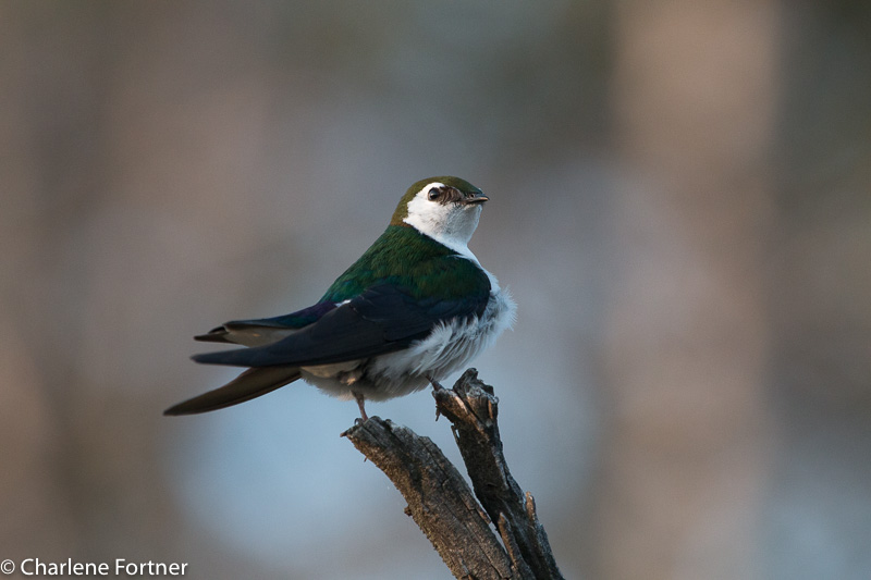
Finally still! Violet-green Swallow.

Finally still! Violet-green Swallow.

Grand Tetons

Grand Teton National Park in Wyoming was an excellent area for hiking and wildlife viewing without the crowds like Yellowstone. While still busy, once I left for the trails, the crowds became non-existent.

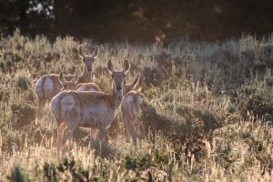
Pronghorn Jenny Lake Rd. Grand Tetons NP

Pronghorn
Jenny Lake Rd.
Grand Tetons NP

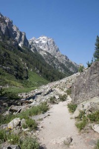
The highlights of my time here were my hike through Cascade Canyon and wildlife watching on Oxbow Bend. I took the boat across Jenny Lake at 0715 which was $15 for a round-trip. They stamped my hand as proof of the round-trip purchase. (I’m not sure this is the greatest way to indicate you’ve purchased a return ticket as my stamp wasn’t legible when I got back several hours later.) Cascade Canyon hike is most difficult at its beginning when most of the elevation gained over the entire trail occurs within the first mile. The trail splits and you decide to go left to Inspiration Point or right to continue through the canyon. Continuing through the canyon, the trail is a rolling, slightly uphill climb, but not overly strenuous. I hiked 4.5 miles to the fork and considered pushing on to Lake Solitude. I talked with other hikers on the trail about the condition and elevation gain and decided against it for this time. Maybe next time? The hike back to Jenny Lake was very pleasant and I even got a little rain at the lake.

Cascade Canyon Trail Grand Tetons NP

Cascade Canyon Trail
Grand Tetons NP

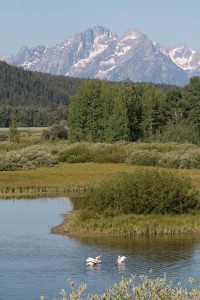
Oxbow Bend, on the western part of the park between the Jackson Lake and Moran Junctions was probably the best place I found to look for birds. Here I found a large flock of American White Pelicans and Common Mergansers. This location was also excellent for sunrise reflection shots when I didn’t get up early enough to make it to Schwabacher Landing, another great location I’d recommend that doesn’t get as busy.

Oxbow Bend Grand Tetons NP

Oxbow Bend
Grand Tetons NP

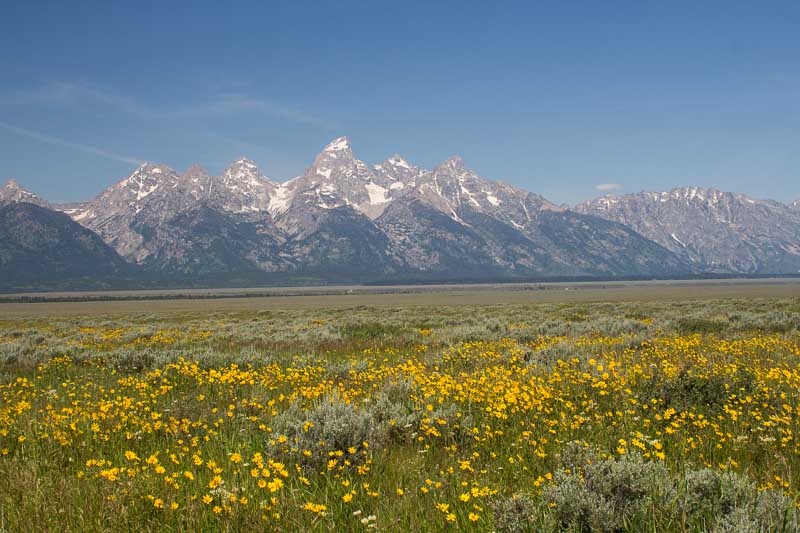
The road leaving the park that parallels the mountain range offers views of most of the large wildlife found in the area. Concentrations of bison and pronghorn were often at the Snake River Overlook during my time there. Mormon Row was pretty, but in my opinion a little underwhelming considering the iconic shot I have seen from this location. Continuing up Antelope Flats Rd. towards Shadow Mountain Rd. offers some great areas for panoramic photography and breathtaking views of most of the entire range.

Antelope Flats Grand Tetons NP

Antelope Flats
Grand Tetons NP


Away from it All — 24-26 June, 2015

The past few days I have been without cell phone reception in the Beartooth-Absaroka Wilderness area surrounding the Beartooth Scenic Highway on the MT/WY border.

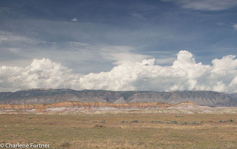
On Wednesday I left the Badlands and traveled west to Red Gulch Dinosaur Tracksite in Wyoming. An out-of-the-way, another dirt road location that didn’t even have an address! The area reminded me a little of the Badlands. I arrived later than I anticipated due to poor weather cleaning up camp in the Badlands. I mean, who needs to put down a tent in torrential rain and 30mph winds!

Red Gulch Area, WY

Red Gulch Area, WY

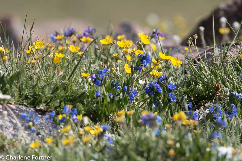
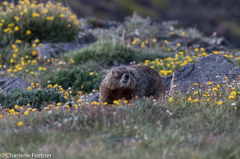
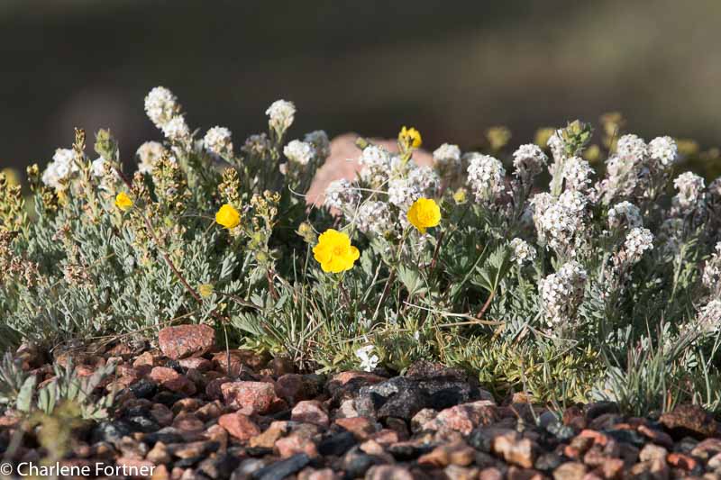
The Beartooth Scenic highway was very beautiful. A high alpine environment with many lakes and wildflowers. And marmots, of course! The highlight was spotting mountain goats on my last night there. Both days were cool during the morning hours (on Thursday, it was  degrees F in the morning!) and warmed significantly during the day. Despite this, snow still covered about 10-20% of the highest passes along the highway.

Beartooth Scenic Highway, Marmot

Beartooth Scenic Highway,
Marmot

Beartooth Scenic Highway, Wildflowers

Beartooth Scenic Highway,
Wildflowers

Beartooth Scenic Highway, Wildflowers

Beartooth Scenic Highway,
Wildflowers

On Friday, I got up early to travel northwest of Red Lodge, MT to the northern side of the Beartooth-Absaroka Wilderness to the Mystic Lake Trail Head off of West Rosebud Rd. Yet another long dirt road, it’s becoming a pattern that is hopefully not harming my car. 🙁

This trail was a grueling 3.2 mile hike uphill to the lake and a mind-boggling, full on concentration (so I don’t become Mrs. Humpty Dumpty) on the way down. I’ll do a more specific post on this hike later.

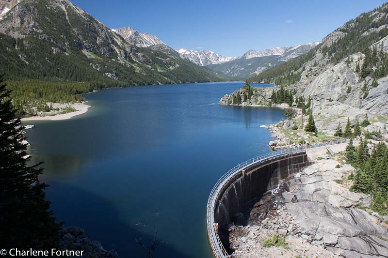
Mystic Lake

Mystic Lake

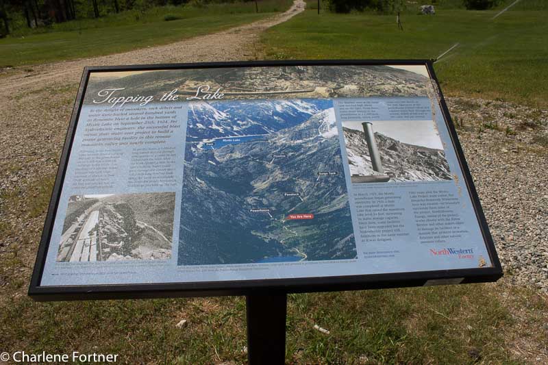
Information on the Hydroelectric Dam on Mystic Lake

Information on the Hydroelectric Dam on Mystic Lake

Badlands, Day 2 — 23 June 2015

I’m ALIVE. I got up really early (0430) to take sunrise pictures and instead I was disappointed to find a storm. I hit the road anyways thinking that the photo opportunities would still be great. I headed to the spot I selected the night before for sunrise and was met with a lightning storm. I braved it a little anyways, figured it would result in a nice shot. I wasn’t out there alone, so my consolation was that if I died, I wouldn’t die alone. 🙂

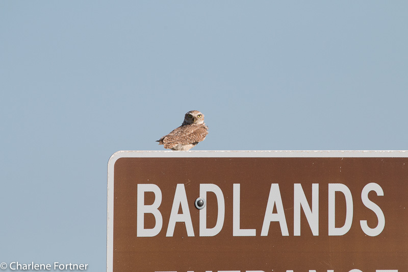
Spent another wonderful day at Badlands NP. Found a new Burrowing Owl family!

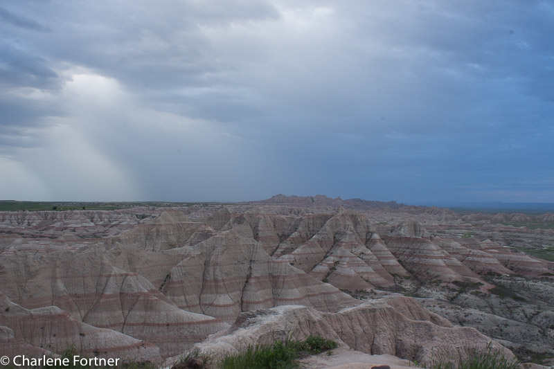
Badlands NP

Badlands NP Sunrise Storm

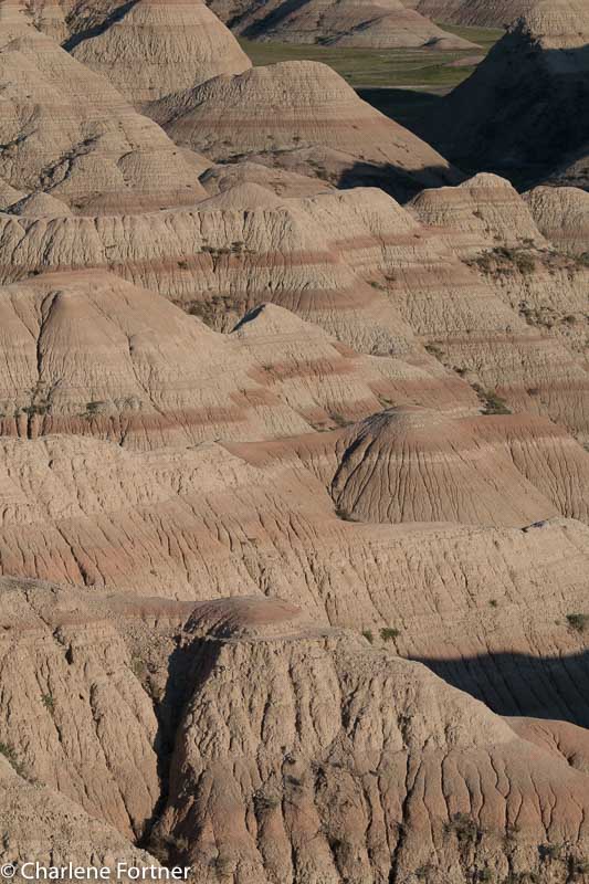
Badlands NP

Badlands NP Evening Glow

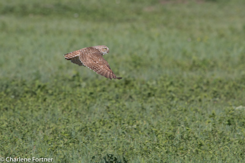
Burrowing Owl Badlands NP

Burrowing Owl
Badlands NP

Burrowing Owl Badlands NP

Burrowing Owl
Badlands NP

Burrowing Owl Badlands NP

Burrowing Owl
Badlands NP
Western Unit, these are older than the other group on the scenic drive in the main unit.

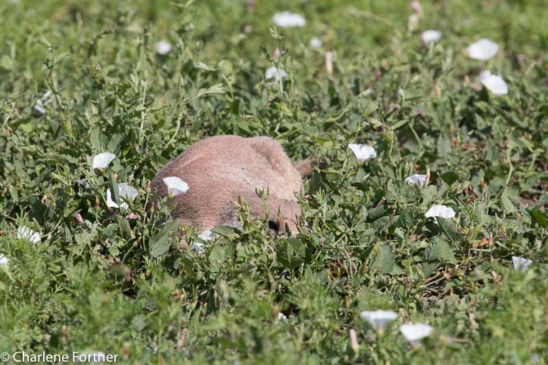
Prairie Dog Badlands NP Maybe if I lay down here in the grass, she can't see me?

Prairie Dog
Badlands NP
Maybe if I lay down here in the grass, she can’t see me?

Hello Badlands! — 22 June 2015

Devils Tower

Devils Tower

No, I didn’t forget about yesterday! I spent Sunday at Devils Tower NM in Wyoming. I hiked the Red Beds Trail around the tower. This time I planned accordingly and did the trail clockwise. Not that it mattered too much as the trail is more like a necklace, what ever side you go down you must come up the other.

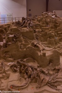
Mammoth Site of Hot Springs, SD

Mammoth Site of Hot Springs, SD Although flash photography is allowed, I don’t like to use flash. This was taken at 24mm, f/7.1, 1/20 sec., ISO 800. Exposure corrected to +0.65. I pushed the clarity and contrast a little, but otherwise a great hand-held shot.

Today I packed up camp early and headed south to Hot Springs, SD to visit the Mammoth Site. A small, paleontology museum that reminded me of the Beringia Museum in Whitehorse, YT. The introduction video was informative about the specific site and its formation. The view of the dig within the building was very well done with a mixture of natural and artificial lighting. The guide used a mixture of proper terminology as well as common terms, something the science geek in me likes (as apposed to using all common terms or dumbed down explanations and generalizations). The fact that all of the bones on the site are real except for one replica is amazing!

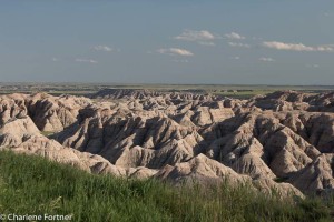
From Hot Springs, SD, I traveled to Oglala and on to the White River Visitor’s Center of the southern tract of Badlands National Park. While the drive was scenic, it did not compare to the main unit of the park. I had a nice drive up the scenic loop to Pinnacles Lookout and back to the campground before settling in.

Badlands National Park

Badlands National Park


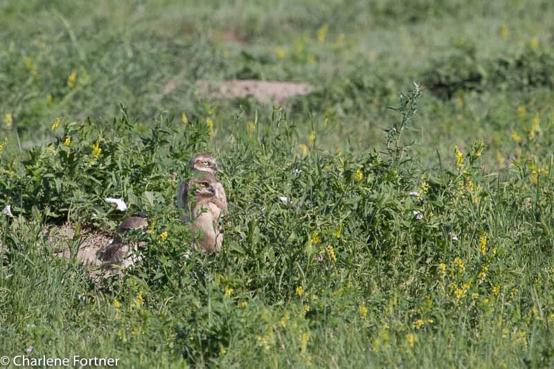
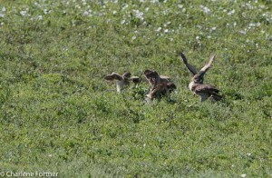
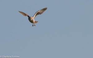
Highlights of the day were three Common Nighthawks in flight and a small family of Burrowing Owls. The owlets were very cute and the young still had their downy feathers. The adults would bring in small morsels and they would all rush out from the burrow to greet and dive bomb on their “presents” the victor would quickly scurry off with its prize to gobble down. I sat and watched them for close to 20 minutes. I think I will return tomorrow when the lighting is better.


Burrowing Owlets rushing in to get the catch.

Burrowing Owlets rushing in to get the catch.

Burrowing Owl

Burrowing Owl


I am really bummed that at the moment the skies are too cloudy to try out night photography, the Milky Way will have to wait for another day. 🙁

The Bluebird of the Day — 20 June 2015

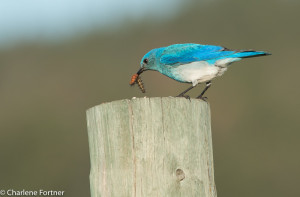
Mountain Bluebird Custer State Park, SD

Mountain Bluebird
Custer State Park, SD

Argh, I was awaken several times last night to torrential downpour and the drip-drip of water in my newly sealed tent. 🙁  I guess I will brainstorm about how to fix this today as I’m out and about. Yesterday was a great day. I started out early on the wildlife drive. At 0545 in the morning, I only saw 3 other cars for the entire two hours I spent on the road. The highlight of the 18 mile drive this morning was a Mountain Bluebird. The little male swooped from the fence into the grass and came back up with a huge caterpillar. He repeatedly beat the caterpillar on top of the fencepost to kill it and then flew off to a bird house further down the fence line. The whole spectacle lasted a few minutes, but the pictures turned out amazing. add pictures
Northern Flicker Custer State Park, SD
Northern Flicker
Custer State Park, SD

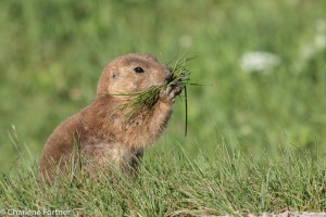
Prairie Dog Custer State Park, SD

Prairie Dog
Custer State Park, SD

After finishing the wildlife drive we headed to Hell’s Canyon (trail 32) in Jewel Cave National Monument. The 5.6 mile loop trail is considered moderate, and I’d second that rating. When we arrived a large group was gathering for a wildflower hike with a naturalist society. I spoke with a few of them and they were very curious about Ari. We set out on a clockwise route just before 10am. The hike of the canyon floor was partially shaded and required one creek crossing and some off-trail navigation around a downed tree. I briefly lost the trail when it U-turned at the end of the canyon floor but realized my mistake quickly and got back on track with only a short detour. The scaling of the canyon wall was the most strenuous portion of the trail, but once on top there was little to no shade, making this portion a lot more taxing. The views of the canyon were amazing and I was lucky to have another great day of good weather and a gentle breeze.

I found a small cave to relax in as I was getting very tired and running low on water, so Ari and I put down our gear for a little rest. As I was contemplating life I was rudely interrupted by a rather large liquid thud just two feet from where I was sitting. Looking up, there were small swallow nests and they were pooping! Haha. Ari and I headed on and to my surprise I ran into the group from the parking lot! Dismayed that I’d been hiking for over 2 hours and worried that I might not have enough water to last me another 2, I asked the tour leader how much I had left; he replied about a mile, mile and a half. Thank goodness!!

We finished VERY tired and I was out of water. I think the other group had it right, a counter-clockwise route would have had all of the elevation gain at the beginning and downhill for the last 3-4 miles rather than my clockwise route. I should have worked harder to find a topographic map. Oh well, lesson learned.
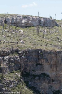
Hell Canyon
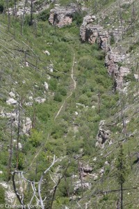
Hell Canyon

Hell Canyon trail seen from the cliff face, where I started from!

Hell Canyon trail seen from the cliff face, where I started from!

Hell Canyon Trail, 5.6 mile loop

Pros: Beautiful scenery, good bird life although not abundant

Cons: Uneven trail with rocky terrain and walking along the cliff side is not for those faint of heart or afraid of heights.

Recommendations: Wear pants as many of the knee-high plants have thorns. Also, as of my writing there is a downed tree across the path along the canyon floor. It will require some climbing or walking 20-30 ft off trail to go around the tree.


I ended the day with Bison burger at Blue Bell Lodge and a quick run of the wildlife loop for some scenery shots before heading to the lighting ceremony at Mt. Rushmore National Monument. The ceremony itself was a little underwhelming and the lighting on the mountain is not very bright, but its an experience, I am glad I went. Since my parking pass is good to the end of the year, I’ll visit again tomorrow or later in the week.
 

Custer State Park, SD

Custer State Park, SD
First Impressions — 19 June 2015

(Note: Since I have not been able to get reliable internet to upload to my blog, I plan to batch upload when I can connect. If you want to read the post in order look at the date in the title. Use the side bar or menu to find a listing of posts.)
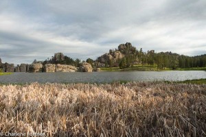
Sylvan Lake Custer State Park, SD
Sylvan Lake
Custer State Park, SD
Another day without needing an alarm clock, I arose just after sunrise. Ari and I went for a walk around Sylvan Lake. The one-mile trail is fairly easy for one-half of the route and then climbing quite steeply for a look over the lake and back down. Once we reached the top and enjoying the nice view over the lake and examining where I had taken the picture to the right from I was scared half-to-death by the loud, shrill noise. At first I had no idea where it came from, nor what it was. Perhaps it was a weird whistle? But there was no one else up here!

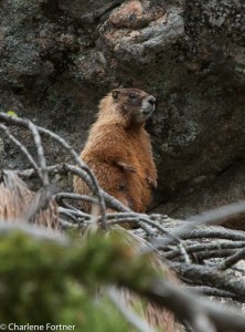
After hearing the noise again I honed in on a rather large marmot. Its bark was its warning and directly below it, level to my eye were two others laying out on a rock. I snapped a few pictures before Ari finally saw them and they noticed him, fleeing to safety.

Sylvan Lake Custer State Park, SD
Sylvan Lake
Custer State Park, SD
While I did not see any birds of consequence I found an abundance of mammal life at this location along with the marmots: chipmunks and squirrels. Woe be to me if Ari ever got loose here!

Around 10 am we headed for Spearfish Canyon Scenic Byway. While the scenery was nice, there was no place to pick up a brochure/map and pull offs were not marked. Only one of the trails I had read about were labelled well enough for me to find. I was a nice location, but not an all-day trip as I had planned, so I picked up lunch in Spearfish and headed back to Custer State Park to pitch my tent and take a nap. I’ll be based in the same location for the next few days, so that will make traveling a little easier.

We ended the day with the Wildlife Drive.

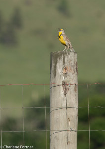
Meadowlark Custer State Park, SD
Meadowlark
Custer State Park, SD
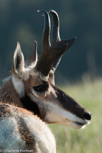
Pronghorn Custer State Park, SD
Pronghorn
Custer State Park, SD